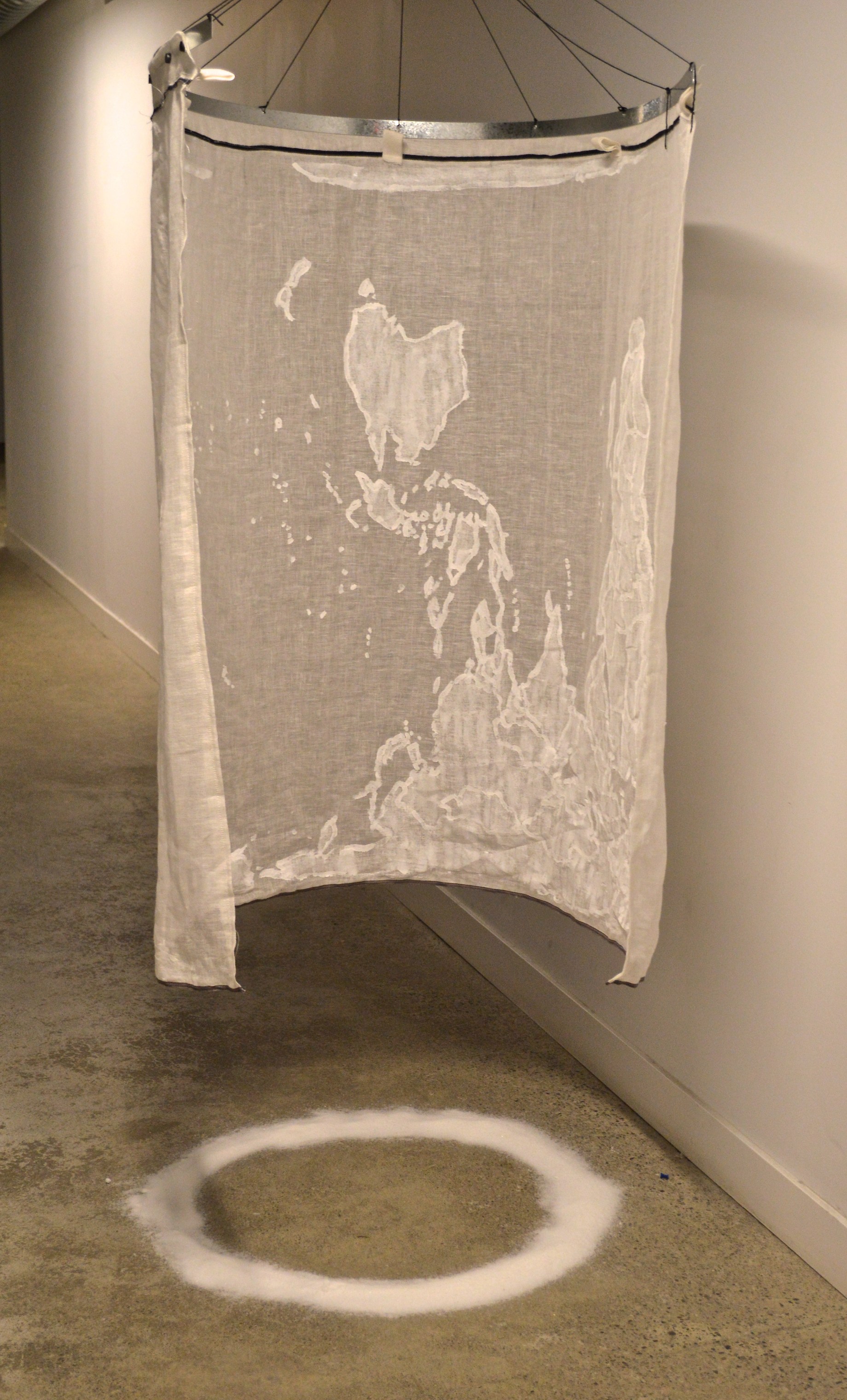
72″w x 47″h, 2017
Created in 2002, the Hobo-Dyer map is an equal area representation presenting a more accurate view of surface area that also provides an inverted south/north orientation to literally challenge our view of the world. Looking at the world in this alternative way invites a disruption to our belief that colonial countries are front and centre and larger in surface area than we’ve been led to believe. In addition, it brings the subjectivity of western science-based mapping into question because a perfectly representational model has not been found.
Further confounding our mapping tradition are the increasingly contentious cultural intersections at political, cultural and social boundaries. Dissolve imagines an alternative worldview where borders and conventional beliefs begin to fall away, considering they are imaginary and incomplete.
